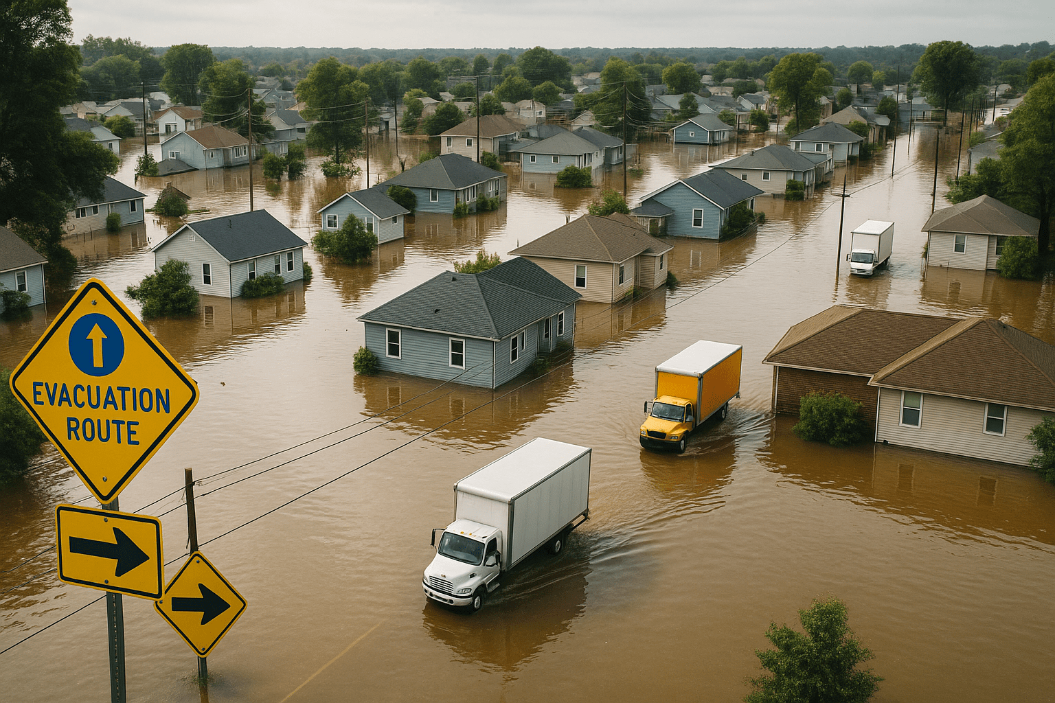
When a hurricane or wildfire disrupts a community, its impact ripples through not only the physical landscape but the people who live there. Homes may be destroyed or rendered unlivable, forcing families into difficult decisions about whether to rebuild or relocate. These choices create a tangible record in the form of public data that quietly tracks population shifts long after the headlines fade.
Following the Paper Trail Left by Displacement
Public records arise from routine administrative activities that suddenly take on new significance after a disaster. Property transactions, address changes filed with government agencies, utility service sign-ups and cancellations all hint at movement patterns. A surge in cancellations combined with a corresponding rise in new accounts in other locations is more than bureaucracy in motion; it speaks to a community in flux.
Consider property records. After wildfires in California, for example, real estate filings often reveal a retreat from fire-prone areas. Researchers analyzing these shifts see not just immediate evacuation but long-term patterns where residents permanently resettle elsewhere. These changes often correlate with insurance claims and rebuilding permits, adding layers to the story public records help tell.
Postal change of address filings provide another window. The United States Postal Service processes millions of these every year, and spikes in filings from affected zip codes capture the scale of relocation. Tracking where these requests point reveals both temporary safe havens and favored destinations for displaced populations. Local governments and aid organizations closely monitor such data to anticipate community needs and resource allocation.
The Subtle Shifts Behind Headline Numbers
Population movement after disasters is rarely uniform. Public records expose nuances by showing which demographic segments move, and where. Elderly residents might relocate closer to family, while younger adults seek job opportunities elsewhere. School enrollment records link with household moves, helping analysts understand how families adapt.
Utility records add another dimension. For instance, electricity service start and stop dates across neighborhoods can chart gradual returns or permanent relocations. The rhythm of these records over months and years paints a fuller picture of recovery and change beyond the immediate aftermath.
Looking back at responses to Hurricane Katrina, studies combined census updates, postal data, and housing records to reveal an enduring migration away from New Orleans. This exodus altered city demographics and reshaped neighboring areas, complicating efforts to rebuild social infrastructure. It also highlighted inequalities in who could afford to return, underscoring the complex interplay of economic and social factors reflected in public records.
Recognizing Challenges in the Data
Public records, valuable as they are, have limitations. Not all relocations get recorded promptly. Informal arrangements, such as staying with relatives without updating addresses, leave gaps. Delays or omissions in reporting can mask the true scale of migration, especially in vulnerable populations. Privacy rules further restrict access to some data, trimming detail and timeliness.
Because of these factors, viewing public records in isolation risks missing the human stories behind the numbers. Complementing this data with field surveys, news accounts, and community input rounds out understanding. Public records act as signposts, guiding where to look closer and what questions to ask about displacement and recovery.
Why This Matters for Communities and Policymakers
Tracking relocation patterns through public records is not just an academic exercise. For urban planners, emergency responders, and social services, it offers actionable intelligence. Areas with growing populations after disasters may need expanded infrastructure, schools, or healthcare. Conversely, regions with decreased occupancy face different challenges such as abandoned properties or reduced tax bases.
This knowledge influences long-term recovery strategies and disaster preparedness efforts. Official data can spotlight communities at risk of permanent depopulation, prompting targeted investment or relocation incentives. It also helps identify emerging neighborhoods that require bolstered services to support new residents.
Beyond immediate recovery, these insights contribute to resilience planning. Understanding how and where populations move allows for better evacuation plans and resource staging in future events. Insurance companies also rely on such data to assess risk and adjust coverage strategies accordingly.
For those interested in exploring further, official sources provide valuable starting points. The U.S. Census Bureau offers demographic and geographic data essential for population analysis. The United States Postal Service explains how address changes are managed, helping interpret migration signals. The Federal Emergency Management Agency (FEMA) provides resources on disaster zones and recovery efforts, framing the context of public record shifts. Academic research, such as papers available through the National Bureau of Economic Research, deepens understanding of migration patterns after crises.
Natural disasters unsettle lives in intense, complicated ways. Public records quietly chart that turbulence, offering a form of clarity amid upheaval. They reveal how communities adapt, move, and rebuild. Studying these documents provides a crucial lens on resilience and recovery in the face of nature’s challenges.
As these patterns become clearer, the role of public records in disaster response continues to evolve. Their integration with modern analytics and geographic information systems expands possibilities for real-time insight. While human stories go beyond data points, the footprints left in official records form a backbone to understanding and ultimately supporting communities navigating displacement.
Sources and Helpful Links
- U.S. Census Bureau – Demographic data and geography resources useful for population studies.
- United States Postal Service – Information about change of address services and data.
- Federal Emergency Management Agency (FEMA) – Resources on flood mapping and disaster management.
- National Bureau of Economic Research – Research paper on migration patterns after disasters.
- New York Times – Coverage on population shifts following Hurricane Katrina.